Productomschrijving
Mit Schiffen, Navigationsmarkierungen und Kompassrose. Titelkartusche oben links mit Verlagsvermerk und allegorischer Darstellung von Landvermessern mit Maßstabsstab. Unten rechts Einfügung von Hamburg in dekorativer Kartusche mit dem Titel "Emporium Hamburgum". Mit Legende.
Striking full color example of Jansson's map the course of the Albis River.
Afmeting prent: 2 x 17,5 x 52,5 cm.
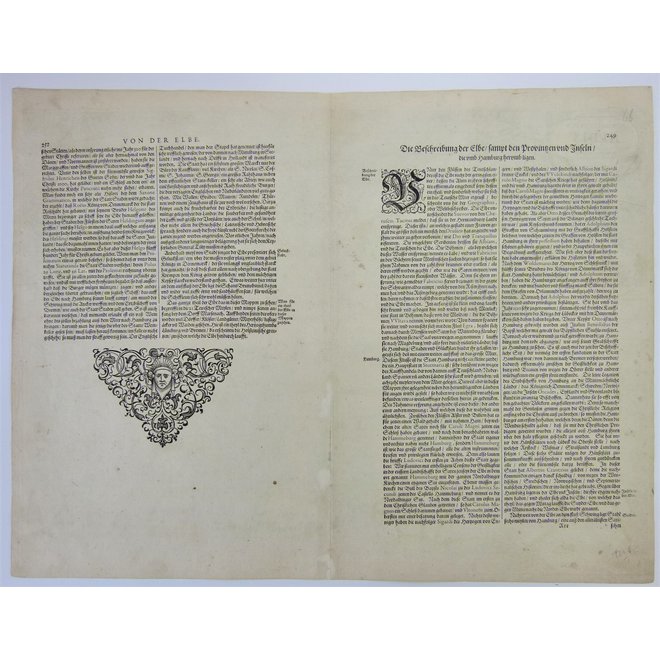
Verso: Duitse tekst.
Bron: Van der Krogt I 2070: 1A.1.
Kopergravure uitgegeven door Johannes Janssonius in 'Gerardi Mercatoris et I. Hondii. - Atlas, das ist Abbildung der gantzen Welt (..)'. te Amsterdam.
Johannes Janssonius (1588-1664) was a renowned geographer and publisher of the seventeenth century, when the Dutch dominated map publishing in Europe. Born in Arnhem, Jan was first exposed to the trade via his father, who was also a bookseller and publisher. In 1612, Jan married the daughter of Jodocus Hondius, who was also a prominent mapmaker and seller. Jonssonius’ first maps date from 1616.
In the 1630s, Janssonius worked with his brother-in-law, Henricus Hondius. Their most successful venture was to reissue the Mercator-Hondius atlas. Jodocus Hondius had acquired the plates to the Mercator atlas, first published in 1595, and added 36 additional maps. After Hondius died in 1612, Henricus took over publication; Janssonius joined the venture in 1633. Eventually, the atlas was renamed the Atlas Novus and then the Atlas Major, by which time it had expanded to eleven volumes. Janssonius is also well known for his volume of English county maps, published in 1646.
Diese Karte wird Ihnen von Gouldmaps zur Verfügung gestellt. Wir bieten orignale antike Landkarten und hochwertige Drucke der Naturwissenschaften. Wir freuen uns, dass wir im Toverkamer Webshop eine kleine Sammlung von Karten und Drucken zeigen können. Wenn Sie weitere Fragen zu einer Karte oder einem Druck haben, zögern Sie bitte nicht, uns zu kontaktieren: [email protected].


